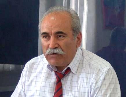
 We say that there needs to be demarcation and delimitation of the borders, and we know that there is a discussion on which maps need to be used since there are maps of 1975, 1969 and 1929. This is what Prime Minister of Armenia Nikol Pashinyan stated during his online press conference today.
“Armenia is currently examining them in detail, and we see that, according to various maps, our roads are somewhat beyond the territory of the Republic of Armenia. Now we are considering scenarios and trying to see what problems there will be and how we will solve them. Based on the maps of 1975, 90% of the arable lands of Berkaber village are currently under Azerbaijani control, and parts of the arable lands of other villages are under Azerbaijani control. Basically, we’re looking at different scenarios that if demarcation is going to be carried out this way.
We are looking at all the legal grounds that have existed throughout history. We will need this for negotiations,” he said.


